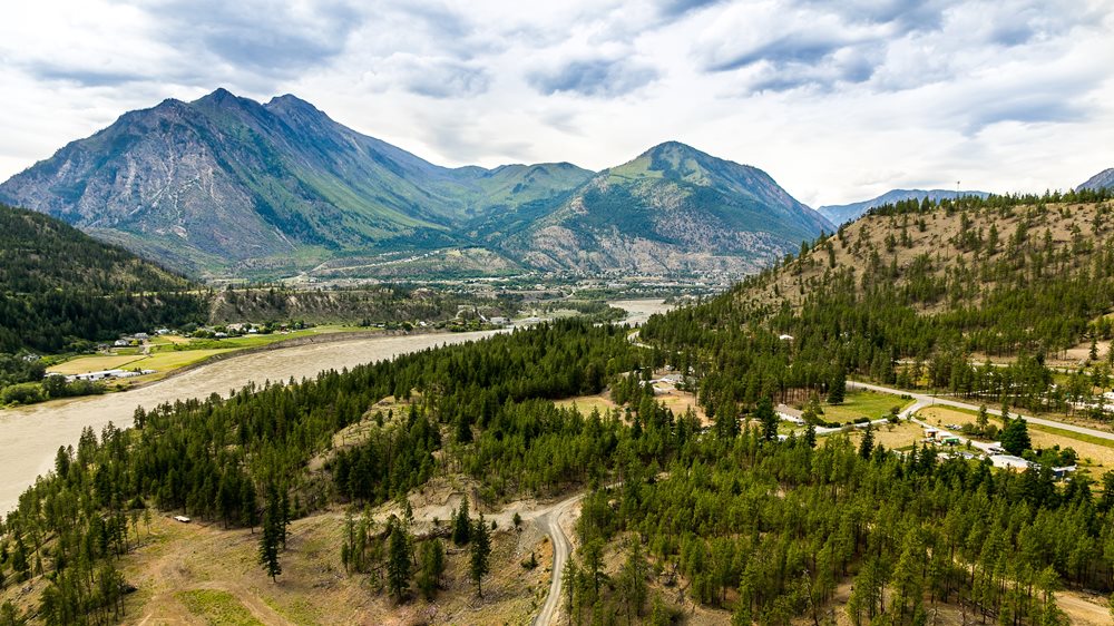
Tucked away within the mountains surrounding Lillooet lie some of BC's most beautiful hiking trails. Many of the trails provide access to either backcountry cabins, campsites and/or alpine lakes that have been stocked for fishing.
All hikers are encouraged to hike in groups and to be prepared for possible encounters with wildlife. Highway 99 south of Lillooet is home to some of the most beautiful and easily accessible alpine hiking areas in BC. Be sure to carry pleanty of drinking water, especially in the summer months.
We recommend obtaining the Canyon to Alpine authored by the Lillooet Naturalist Society for a detailed description and access information to over 30 hikes in the Lillooet area of various levels of difficulty..jpg.aspx) You can purchase this guide book at many Lillooet retailers or borrow from the Lillooet Library.
You can purchase this guide book at many Lillooet retailers or borrow from the Lillooet Library.
Hiking Areas
- Red Rock
- Campground Trails
- Spawning Channels
- Fraser River Lions Trail
- Joffre Provincial Park
- Seton Ridge
- Peanut Lake Trail
The Lillooet & District Chamber of Commerce publishes an excellent Map of Hiking Trails in Lillooet and Area. Copies of this map are available at local businesses and the Visitor Information Centre.
 Brad Kasselman @coastphoto_productions
Mountain Biking
Road biking as well as mountain biking are becoming increasingly popular around Lillooet. The rugged mountains are ideal for cross country and downhill while the scenic and quiet backroads and highways are perfect for road bikers.
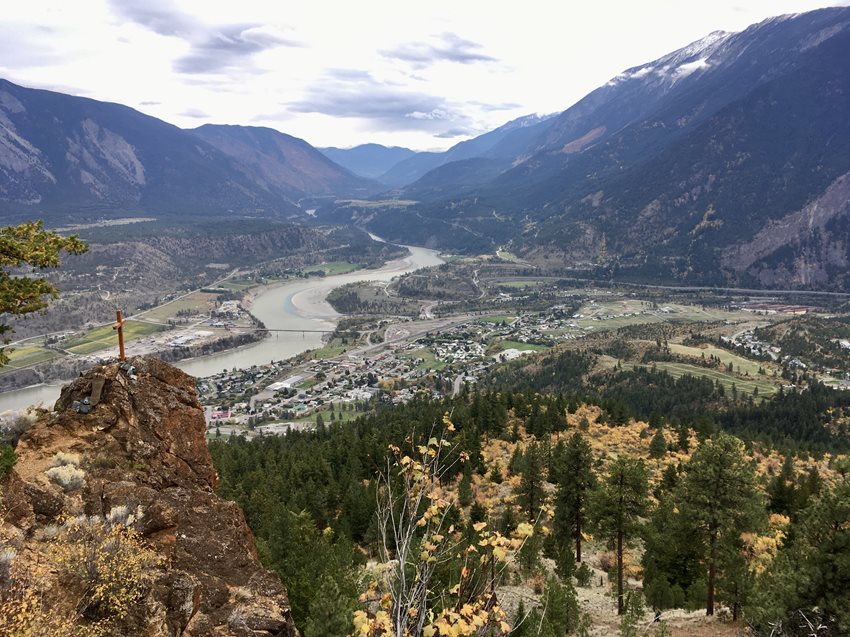
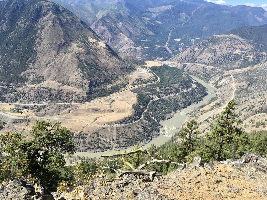
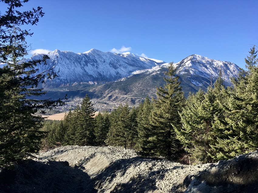
Photos from regional trails

View from Red Rock trail, a popular day hike in the area. Credit: Jonah Timms Photography

View from Camel's Hoof trail. Credit: Jonah Timms Photography

View from local trail above Lillooet Airport. Credit: Jonah Timms Photography